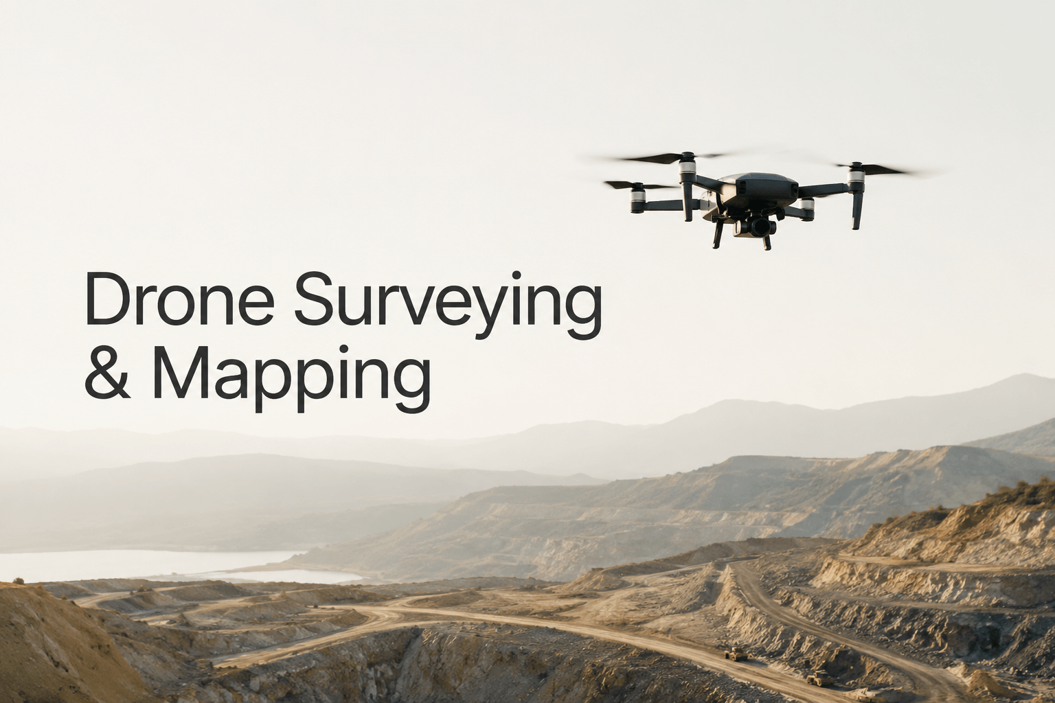
Drone Surveying & Mapping: Modern Techniques for Precision Data Collection
The Drone Surveying & Mapping course is designed to equip learners with the essential skills to operate drones for land surveying, geographic mapping, and environmental monitoring. With the growing demand for accurate geospatial data, drones have revolutionized industries such as construction, agriculture, mining, and urban planning. This course provides a comprehensive introduction to drone technology, surveying principles, and mapping applications.
What You’ll Learn
- Drone Basics: Understand drone components, flight operations, and safety protocols.
- Surveying Principles: Learn the fundamentals of geospatial data collection and measurement.
- Mapping Techniques: Explore photogrammetry, ortho mosaic creation, and 3D modeling.
- GIS Integration: Discover how drone data integrates with Geographic Information Systems.
- Data Accuracy: Master techniques to ensure precision in measurements and mapping outputs.
- Applications: Study real‑world use cases in construction, agriculture, mining, and disaster management.
- Regulations & Compliance: Learn about aviation laws, licensing, and ethical practices.
- Career Pathways: Explore opportunities as drone surveyors, GIS analysts, and mapping consultants.
Why This Course Matters
Drone surveying offers faster, safer, and more cost‑effective solutions compared to traditional methods. By mastering these skills, learners will:
- Collect high‑resolution aerial data for precise mapping.
- Improve efficiency in construction and land development projects.
- Support sustainable agriculture through crop monitoring.
- Contribute to disaster response and environmental conservation.
Career Opportunities
Graduates of this course can pursue roles such as:
- Drone Surveyor
- GIS Mapping Specialist
- Remote Sensing Analyst
- Construction Project Surveyor
- Environmental Monitoring Consultant
FAQ SECTION
What is Drone Surveying and Mapping?
Drone Surveying and Mapping involves using UAVs to collect aerial data and create accurate maps, models, and geographic information.
Who should take this Drone Surveying and Mapping Course?
Surveyors, engineers, GIS professionals, drone operators, students, and construction professionals can benefit from this course.
Do I need prior drone experience?
No. The course is designed to accommodate beginners while also providing value for experienced professionals.
What is photogrammetry?
Photogrammetry is the process of creating maps, measurements, and 3D models from aerial photographs.
Will I learn GIS integration?
Yes. The course includes GIS fundamentals and spatial data analysis using drone-collected information.
What industries use drone surveying?
Construction, mining, agriculture, environmental management, infrastructure, utilities, and urban planning frequently use drone surveying technologies.
Will I receive a certificate?
Yes. Participants receive a course completion certificate after successfully completing the training.
What career opportunities are available after this course?
You can pursue roles such as Drone Surveyor, GIS Analyst, UAV Mapping Specialist, Survey Engineer, and Geospatial Technician.
Is drone surveying in demand?
Yes. The adoption of drone technology is increasing rapidly across multiple industries, creating strong demand for skilled professionals.
What software concepts are covered?
The course introduces mapping workflows, GIS integration, photogrammetry principles, and drone data processing techniques.


Reviews
There are no reviews yet.