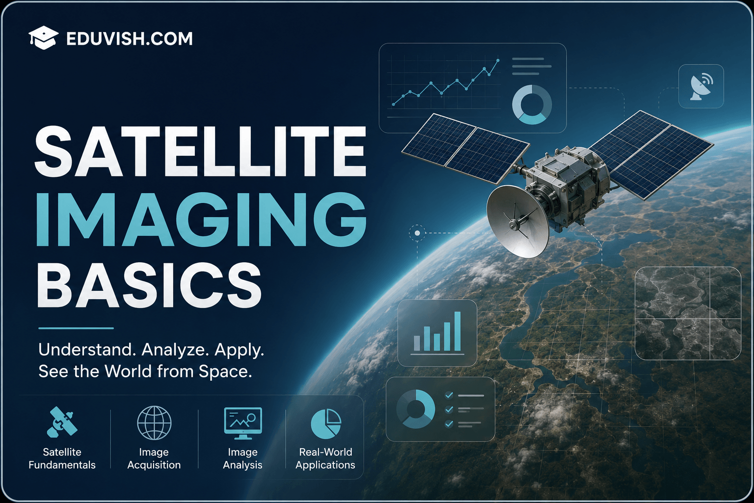
Satellite Imaging Basics is a foundational course designed to introduce learners to the science and technology of capturing Earth’s surface using satellite sensors. This program covers the principles of satellite imaging, electromagnetic spectrum usage, image acquisition, and interpretation techniques.
Students will gain insights into different types of satellite sensors, resolution concepts, and applications of satellite imagery in agriculture, forestry, urban planning, disaster management, and environmental monitoring. The course emphasizes both theoretical knowledge and practical applications, preparing learners to analyze and utilize satellite data effectively.
By the end of this course, participants will be able to:
- Understand the fundamentals of satellite imaging and remote sensing.
- Explore different types of satellite sensors and their functions.
- Interpret satellite images using resolution and spectral bands.
- Apply satellite imagery in agriculture, forestry, and urban planning.
- Use satellite data for disaster management and environmental monitoring.
- Integrate satellite imaging with GIS for advanced analysis.
- Contribute to sustainable development through geospatial technologies.
This course is ideal for students, researchers, environmentalists, and professionals in geography, agriculture, and urban development. With case studies, lab exercises, and industry-focused training, you’ll gain the confidence to apply satellite imaging techniques in real-world scenarios.
FAQ SECTION
1. What is satellite imaging?
Satellite imaging is the process of capturing images of the Earth’s surface using sensors mounted on satellites orbiting the planet.
2. Who should take this course?
Students, GIS professionals, environmental scientists, agricultural specialists, researchers, and beginners interested in satellite technology can benefit from this course.
3. Do I need prior experience in remote sensing?
No, the course is designed for beginners and introduces all concepts from the ground up.
4. What skills will I learn?
You will learn satellite image interpretation, image processing basics, earth observation concepts, and geospatial analysis techniques.
5. How is satellite imaging used in agriculture?
Satellite imaging helps monitor crops, assess soil conditions, manage irrigation, and improve agricultural productivity.
6. Does the course include practical projects?
Yes, learners work on satellite imagery interpretation exercises and real-world case studies.
7. Is certification provided?
Yes, participants receive a certificate upon successful completion of the course.
8. How does satellite imaging support disaster management?
It helps monitor floods, droughts, wildfires, landslides, and other natural disasters to improve emergency response.
9. What industries use satellite imagery?
Agriculture, environmental management, urban planning, forestry, mining, transportation, defense, and disaster management sectors use satellite imaging extensively.
10. What career opportunities are available after completing this course?
Career opportunities include GIS Assistant, Remote Sensing Technician, Geospatial Analyst, Environmental Data Analyst, Mapping Specialist, and Earth Observation Research Assistant.


Reviews
There are no reviews yet.