
Introduction
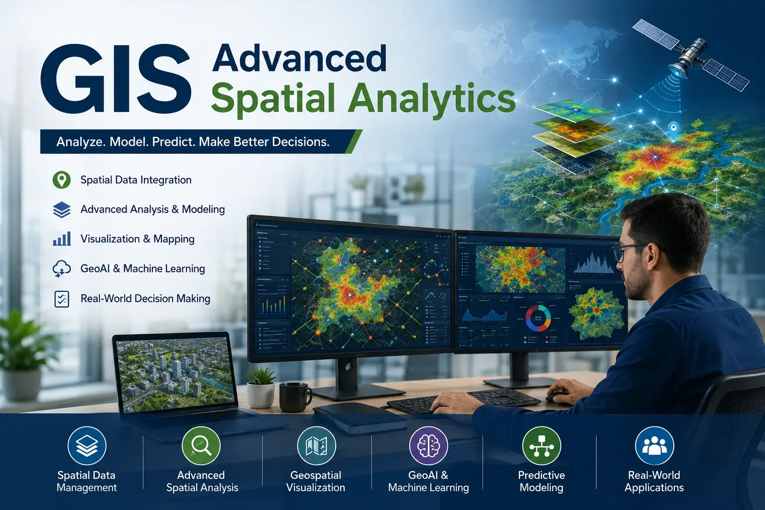
The GIS Advanced Spatial Analytics Course is a comprehensive program designed to help learners understand how geographic data is used to solve real-world problems. GIS combines mapping technology, spatial statistics, and data analysis to study patterns on Earth’s surface.
Spatial analytics helps organizations make better decisions by analyzing location-based data. Therefore, understanding GIS is essential for urban planners, environmental scientists, and data analysts.
This course introduces learners to geospatial systems, mapping tools, spatial databases, and analytical methods. Moreover, participants gain practical knowledge of working with geographic datasets.
Whether you are a student, analyst, or technology enthusiast, this course provides essential skills for GIS spatial analytics.
Course Overview
In today’s data-driven world, location intelligence plays a key role in decision-making. Consequently, GIS and spatial analytics are widely used in industries like urban planning, logistics, environment, and defense.
The GIS Advanced Spatial Analytics Course provides learners with a structured understanding of spatial data processing, geospatial modeling, remote sensing, and map visualization. Additionally, participants explore how GIS tools transform raw data into actionable insights.
The course combines geography, data science, and technology to help learners build advanced spatial analysis skills.
What You Will Learn
The GIS Advanced Spatial Analytics Course covers a wide range of geospatial topics. First, learners study the fundamentals of GIS and spatial data structures.
Next, participants explore spatial analysis techniques, coordinate systems, map projections, and geospatial data visualization. Furthermore, the course explains remote sensing, satellite imagery analysis, and GIS modeling techniques.
In addition, learners gain knowledge of spatial statistics, environmental mapping, urban GIS applications, and geospatial intelligence systems. These topics provide a complete understanding of advanced GIS analytics.
Moreover, learners also work with real-world spatial datasets and mapping tools.
Skills You Will Gain
Upon successful completion of the course, learners will develop valuable skills, including:
- GIS mapping and analysis
- Spatial data modeling
- Geospatial analytics
- Remote sensing interpretation
- Location intelligence
- Spatial statistics
- Cartography fundamentals
- GIS software usage
- Data visualization techniques
- Urban and environmental GIS analysis
Moreover, these skills are highly valuable across government agencies, urban planning firms, environmental organizations, logistics companies, defense sectors, and tech industries.
Benefits of the Course
The GIS Advanced Spatial Analytics Course offers numerous benefits for learners interested in geospatial technology. First, it builds strong understanding of spatial data and mapping systems.
Additionally, the course improves analytical and problem-solving skills. Furthermore, participants gain practical knowledge that helps interpret complex geographic datasets.
Because GIS is widely used across industries, professionals with spatial analytics skills are highly in demand. As a result, learners can improve career opportunities in environmental science, urban planning, and data analytics.
The course also develops critical thinking, spatial reasoning, and data interpretation skills.
Who Should Enroll?
This course is ideal for:
- GIS analysts
- Urban planners
- Environmental scientists
- Data analysts
- Students
- Engineers
- Researchers
- Logistics professionals
- Government employees
- Tech enthusiasts
No advanced GIS experience is required. Therefore, beginners can confidently enroll and build foundational spatial analytics knowledge.
Career Opportunities
After completing the course, learners may pursue opportunities such as:
- GIS Analyst
- Spatial Data Scientist
- Geospatial Analyst
- Remote Sensing Specialist
- Urban GIS Planner
- Environmental GIS Consultant
- Location Intelligence Analyst
- Cartographer
- GIS Technician
- Geospatial Intelligence Officer
Additionally, learners can apply these skills across government departments, environmental agencies, urban development firms, defense organizations, and tech companies.
Certification
Upon successful completion of the GIS Advanced Spatial Analytics Course, participants receive a certification recognizing their ability to analyze geospatial data, build maps, and apply spatial analytics techniques.
This certification can strengthen professional credibility and support career growth in GIS, urban planning, and geospatial industries.
Why Choose This Course?
The GIS Advanced Spatial Analytics Course combines geography, data science, and technology to provide a practical, future-focused learning experience. Moreover, it equips learners with skills essential for modern spatial decision-making.
The curriculum focuses on GIS tools, spatial analysis, and geospatial intelligence. Furthermore, learners gain insights into real-world mapping applications and data-driven solutions.
Whether your goal is to become a GIS analyst, urban planner, or data scientist, this course provides the knowledge and confidence needed to succeed.
Conclusion
The GIS Advanced Spatial Analytics Course provides a strong foundation in geographic information systems, spatial data analysis, and geospatial intelligence. Through topics such as mapping, remote sensing, and spatial modeling, learners gain valuable knowledge applicable across modern industries.
Moreover, as location-based data becomes more important in decision-making, professionals with GIS expertise are becoming highly valuable. Therefore, this course serves as an excellent starting point for individuals seeking careers in geospatial technology, urban planning, and environmental analysis.
FAQ SECTION
1. What is the GIS Advanced Spatial Analytics Course?
It teaches how to analyze geographic data using GIS tools and spatial techniques.
2. Is this course suitable for beginners?
Yes. Beginners can easily understand GIS fundamentals.
3. What topics are covered in this course?
It includes mapping, spatial analysis, and remote sensing.
4. Will I receive a certificate?
Yes. A certificate is provided after completion.
5. Do I need technical background?
No. The course starts from basic concepts.
6. Who should enroll in this course?
Students, analysts, and urban planners.
7. Is this course practical?
Yes. It includes real-world GIS case studies.
8. What skills will I gain?
You will gain skills in spatial analysis and GIS mapping.
9. Can this course help my career?
Yes. It improves opportunities in geospatial industries.
10. Why is GIS important?
It helps analyze location-based data for better decision-making.



Reviews
There are no reviews yet.